
Geological Mapping in Sydney
At Geotechnical Consulting & Testing Services, we provide expert geological mapping services in Sydney to support construction, infrastructure, and environmental projects. Geological mapping is an essential tool for understanding the physical, structural, and lithological characteristics of a site, enabling informed decision-making and risk mitigation for any development.
Why Choose Us for Geological Mapping?
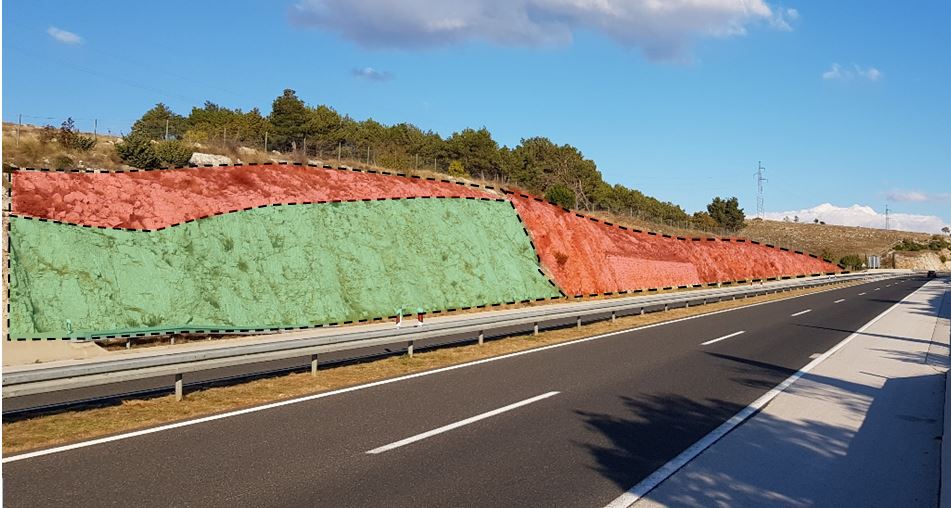
Geological mapping involves the detailed study and representation of the surface and subsurface geology of an area. It includes analyzing rock formations, fault lines, soil types, and other geological features to create maps that guide construction planning, resource management, and hazard identification.
Understanding the geological characteristics of a site is vital for ensuring safety, sustainability, and project feasibility. Geological mapping helps to, identify potential risks such as faults, landslides, and unstable ground. Guide the placement of foundations, roads, and other infrastructure. Comply with environmental and regulatory requirements. We provide a comprehensive range of geological mapping services tailored to meet the specific needs of your project. On-site observation and sampling of geological features.
Benefits of Our Geological Mapping Services
Sydney’s geology is diverse, with varying rock types, soil conditions, and geological structures. Our expertise in geological mapping ensures your project is built on a solid understanding of the site, minimizing risks and enhancing safety. Whether you’re planning a high-rise, tunnel, or residential development, our services provide the foundation for successful outcomes.
- Accurate Data: Gain a clear understanding of geological conditions for informed decision-making.
- Project Efficiency: Identify challenges early, reducing construction delays and costs.
- Regulatory Compliance: Ensure your project meets local and national standards.
For professional geological mapping services in Sydney, contact Geotechnical Consulting & Testing Services today. Call 0494 036 394 or email admin@gcts.com.au to discuss your project needs. Trust us to provide the geological insights your project requires.